
Mekong in crisis
January 23, 2018
by Gayatri Mutum
Almost a decade ago, the World Bank described the Mekong Delta as one of the most sensitive areas to climate change. That future is now here.
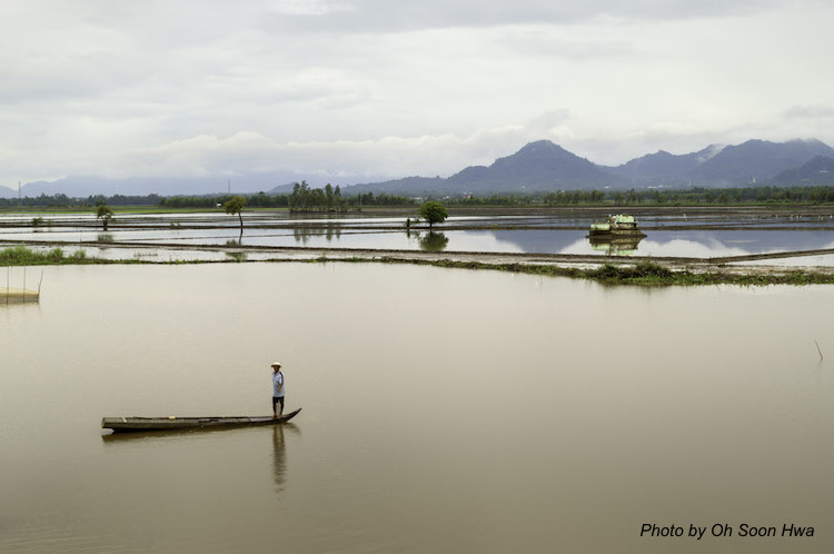
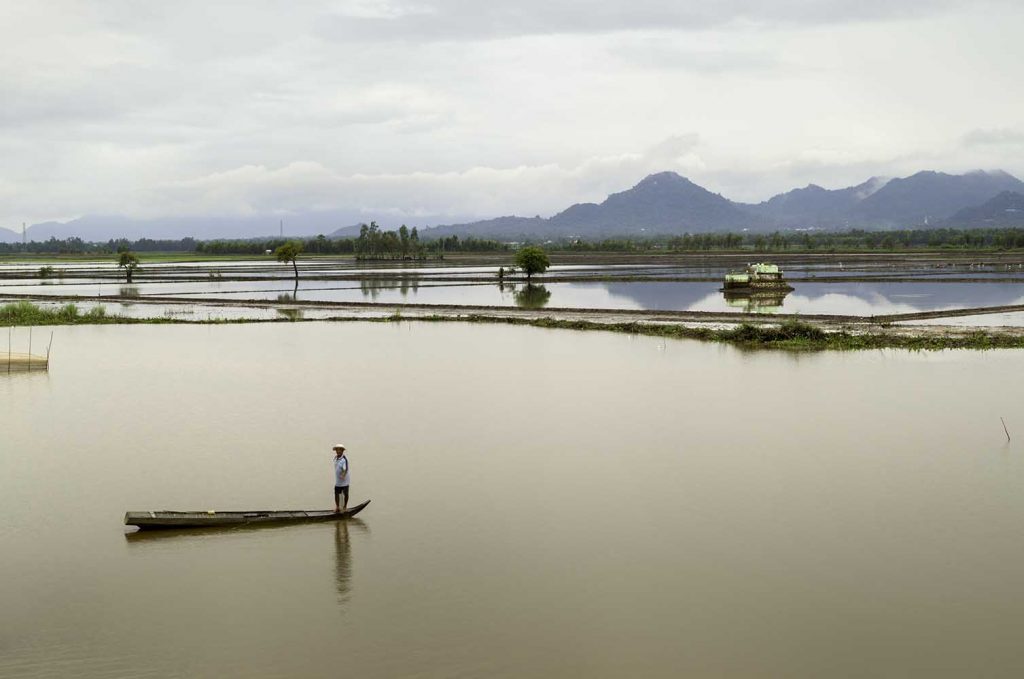
About 70 million people reside along the Mekong. It is one of the longest rivers in the world and has a distinctive ecosystem in Southeast Asia. The river originates at the Lasagongma Spring in the Tibetan plateau, winds through China, Laos, Cambodia and Vietnam, before ending in the South China Sea.
The delta, in particular, faces threats of rising sea level, ill-planned dam constructions, fresh water and food security, salt water intrusion, floods, erosion, etc. It sits less than 5 metres above sea level and is listed as a red zone by the World Bank, meaning that it is highly vulnerable to advancing seawater. Even a modest rise here could displace about 40 per cent of the country’s population and affect 36 per cent of its GDP.
The Vietnam Net reports that 2 per cent salinity was already recorded in late January 2017, around 20 to 25 kilometres inland from the coastline. This is expected to increase rapidly over the dry season. The encroachment has brought stress to generations of locals who have lived off agricultural and aquaculture. Conventional methods of managing water—dykes and sluice gates—have proven useless against the growing tide. Compounding this situation is the lack of fresh water, which has had a devastating effect on crops, fishing and livestock. It has forced communities to move to nearby urban centres. The flow of people has been between 10 and 15 per cent of the population in just the second half of the last decade (Vietnam Net).
Meanwhile, Laos and Cambodia, seeking energy to fuel their growth, have proposed multiple hydropower dams. These dams will block the flow of silt and sediments, vital to replenishing the fertility of the land, and inhibit the migration of fish. There is already a record drop of the sedimentation from 147 metric tons to around 66 metric tons per year. If all proposed dams are built, they could reduce sedimentation by 80 per cent. The dams also exacerbate flood risk, resulting in displacement of communities, who are mostly lower-income individuals who are pushed further into poverty.
To counter these threats, the Mekong River Commission (MRC), the Mekong Coalition and many other organisations have been formed. The Basin Development Strategy (BDS), under the MRC, argues for the need to correct the damage done and develop a sustainable strategy. In the period from 2016 to 2020, BDS envisions to enforcing Article 3 of the 1995 Mekong Agreement (signed by the lower Mekong countries), which emphasises the need to protect the environment and ecological assets of the basin, particularly the biodiversity and ecosystem services. Restoring balance may seem impossible at this point but one can hope that there is action to protect remaining vulnerable areas and the Mekong population.
References
Mekong River Commission – www.mrcmekong.org
Kean Hor, Lim, Basin Development Strategy 2016-2020 Report, MRC
International Rivers – www.internaionalrivers.org
Vietnam urges Laos to rethink Mekong river dams, 2017, Vietnam Net.
Nyugen, Huu Nihn, Flooding in Mekong River Delta, Vietnam, (2007), UNDP
Vidal, John. Mekong: a river rising, (2015), The guardian.
Brown, David. Will Climate Change sink the Mekong Delta (2016), Mongabay Series: Mekong dams
Koh, Hannah, Climate Captives, (2017). Eco-business
To read the complete article, get your hardcopy at our online shop/newsstands/major bookstores; subscribe to FuturArc or download the FuturArc App to read the issues.
